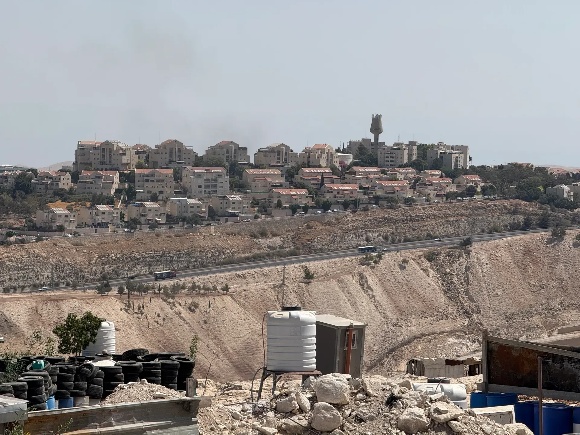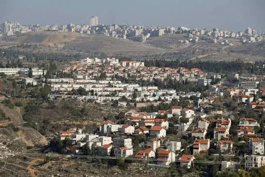

Israeli occupation authorities are continuing to advance their settlement plan in the E1 area east of occupied Jerusalem, which includes the construction of 3,401 settlement units between the city and the Ma'ale Adumim settlement, in parallel with the demolition of structures in the Bir al-Maskoub Bedouin community located within the area targeted by the plan, in a development that raises fears the project is moving from planning measures to imposing facts on the ground affecting the Palestinian presence and geographical contiguity in the area.
The settlement units are distributed across two tenders. The first, numbered 186/2026, includes 1,234 units and was offered by the occupation authorities on 18 August. The second tender, numbered 460/2025, covers the remaining 2,167 units, meaning all units approved under the plan are now included in executive tenders, according to data from the Wall and Settlement Resistance Commission.
The commission explained that dividing the units between two tenders does not mean the occupation authorities have retreated from the project or reduced it, but rather reflects a redistribution of its phases. The deadline for submitting bids for the tender covering 1,234 units closed on 19 October, with consideration of the bids postponed to 19 November, while the tender for the 2,167 units had not yet been opened for bids, according to a joint update issued by the organizations Emek Shaveh, Bimkom and Peace Now on 9 November.
The offering of tenders does not mean construction work has actually begun; procedures still precede that, including selecting implementing parties and completing contracts, licenses and infrastructure works. However, including all approved units in executive tenders represents an advanced stage in advancing the project and increases the likelihood of turning it into a reality on the ground.
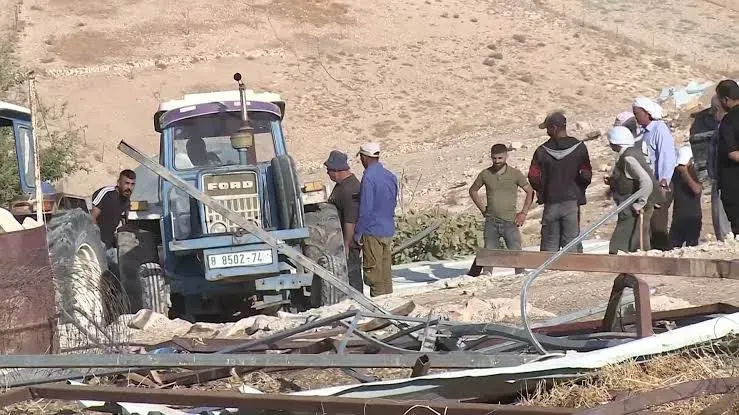
In a related development, occupation forces on 3 November demolished about half of the structures in the Bir al-Maskoub Bedouin community east of Jerusalem. The demolitions affected about four residential clusters containing homes, kitchens and sanitation facilities, displacing about 20 Palestinians, according to a joint report by Emek Shaveh, Bimkom and Peace Now.
The report added that the occupation authorities renewed demolition orders issued in 2008 against the remaining structures, placing the entire community at risk of removal and displacement. It also quoted the head of the Ma'ale Adumim settlement municipality acknowledging that the municipality had initiated the request to carry out the demolitions from the coordinator of government activities in the territories.
The Palestinian Ministry of Foreign Affairs condemned the demolition of the community, saying the demolished structures are located within the area targeted by the E1 plan and that the operation affected about half of the community's structures, in parallel with the delivery of notices targeting the rest. The ministry considered these measures a dangerous shift from planning stages and administrative measures to actual implementation of the plan on the ground.
The Foreign Ministry stressed that the demolitions carried out do not mean the settlement units are being built directly, but they took place inside the area targeted by the project and derive their significance from their connection to a broader plan to reshape the area.
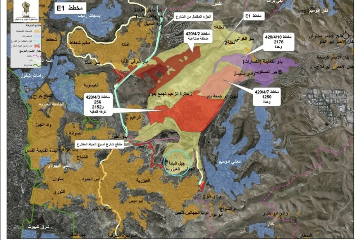
The importance of the plan lies in its geographical location; it is located east of Jerusalem, between the city and the Ma'ale Adumim settlement, and extends over an area of approximately 12,000 dunams. It is not limited to residential units but includes plans for industrial, commercial and tourism areas, road networks and infrastructure, linking settlement expansion in the area within a single urban system.
The Wall and Settlement Resistance Commission warned that implementing the project, in integration with settlement expansion and surrounding road networks, would impose settlement contiguity between Jerusalem and the Ma'ale Adumim settlement at the expense of Palestinian geographical contiguity, lead to the separation of the northern West Bank from its south, and deepen the isolation of East Jerusalem from its Palestinian surroundings in the West Bank.
A map prepared by the Jerusalem Center for Legal Aid and Human Rights, within a fact sheet issued in May 2026, shows the location of the settlement corridor in the area and demonstrates how its completion could contribute to fragmenting Palestinian geographical contiguity and isolating East Jerusalem from its surroundings.
The seriousness of the plan is highlighted by the fact that it is not only about adding residential units, but about reshaping the geographical space and the movement of Palestinians between West Bank areas and Jerusalem.
The repercussions of E1 go beyond the urban expansion of the Ma'ale Adumim settlement to affect the future of Palestinian geographical contiguity and the possibility of establishing a geographically contiguous state with East Jerusalem as its capital, amid continued settlement and targeting of Palestinian communities located in the area.